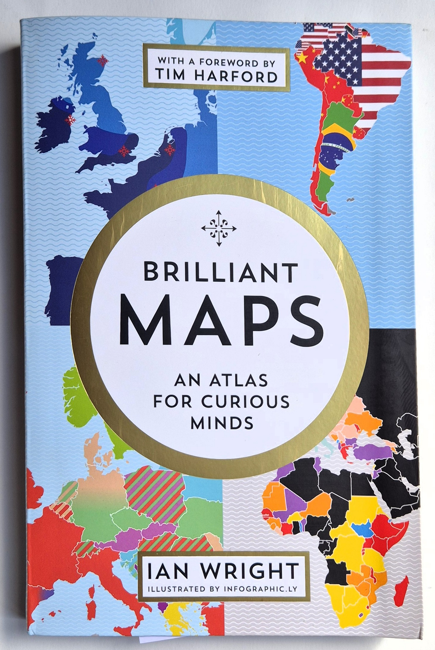
Ian Wright, Brilliant Maps, an atlas for curious minds, Gramta Books, 2021. Book review.
I have had this book for over a year but have only just turned to it properly. I am not altogether sure about it. It’s a collation of maps from the author’s website, restyled with panache by infographic.ly. The contents range from the political to the just for fun. The maps are mostly uncluttered by names of countries. We are warned in the foreword by Tim Harford and the author’s introduction that without context, which is missing here, the information drawn can too easily be erroneous or even dangerous. One example was a map showing nationals from predominantly Muslim countries as the second largest nationality in non-Muslim countries. For those who wanted to see it that way (Farage fans no doubt), this was taken as an unacceptable, ‘out of control’ proportion as opposed to the actual 6% of Europeans and 4% of the EU. There’s a risk, as with statistics or the bible, of making the data fit pre-conceived views. No doubt I am guilty of this myself below by virtue of the details I have chosen to extrapolate. But much of it is enlightening and thought-provoking.
The first section, “Populations and People” includes European countries overlaid on areas of the Americas with equal populations, and US states overlaid on areas of Europe with equal populations. Another shows a surprising number of countries, some of them very large, with populations smaller than that of Greater Tokyo. Others show median ages, average heights, and largest immigrant populations
“Religion and politics” includes a map which more or less bisects Africa, with the north broadly Islamic, the south Christian.
“Power” has countries with economies larger than California’s. Astonishingly there are just three, Germany, China and Japan. Other measures illustrated in this section include imports and exports, gold reserves in grams per person and military spending.
“Culture” includes sport which is a bit of a red rag for me. As with that government department, Culture, Media and Sport, I can see no connection. But I love the idea of recording heavy metal bands per 100,000 people – Scandinavia is way out in front. There are not many countries which don’t have McDonald’s, those that don’t are mostly in Africa. India tops the list with the most Miss World winners, followed by Venezuela.
Place names with more than twenty letters are up my street and translations are given. There’s the famous Welsh one:
Llanfairpwllgwyngyllgogerychwyrndrobwllllantysiliogogogoch, which means Sainr Mary’s church in a hollow of white hazel near the rapid whirlpool of the church of Saint Tysilio with a red cave, but the longest, with 85 letters is in Australia:
Taumatawhakatangihangakoauauotamateaturipukakapikimaungahoronukupokaiwhenuakitanatahu, which translates as the summit where Tamatea, the man with the big knees, the climber of mountains, the land-swallower who travelled about, played his nose flute to his loved one. The detail about the size of his knees is particularly charming.
In “Customs” we have the age of consent for heterosexual sex (puberty up to nineteen years old or must be married), different decimal separators, the comma more widely spread than the decimal point, and the order in which dates are written, of which our day, month, year system is the only one which makes logical sense to me. Male circumcision is described as “One thing that unites America and the Middle East” which is interesting but perhaps not terribly helpful. We also see Celtic language distribution, speed limits (the highest is in Russia, 85 mph, excluding Germany which in places has no limit. I once hit 135 mph there and loved it.) We like to think that we drive on the ‘correct’ side of the road in the UK, but we are very much in the minority globally. The world plug and socket map could be really useful. It always amuses me that the American ones are rubbish, insecure and patently dangerous.
“Friend and Enemies” has European countries which have invaded Poland (most of them, by land mass), and countries not invaded by the UK. There are only 22. Sweden stands out. The rest we may have thought too small to bother with, or other invaders got there first, not that that ever tended to deter our imperialism much. We also see countries which officially recognise the states of Israel and Palestine and most recurring words on each country’s Wikipedia page (with certain sensible exclusions). North America’s is “war”. And countries Americans consider as allies, friends and enemies. They are very few of the first and a number about which they are apparently “not sure”. Countries raided or settled by the Vikings take in pretty much the entire northern hemisphere.
“Geography” is unsurprisingly a rich seam. I love the title “Chile is a ridiculously long country” and “The true size of Africa” shows the USA, China, India, France, Spain, Germany and Italy easily fitting in with plenty of room to spare.
“History” is mostly to do with colonies and empires, and in “National identity” we learn that almost all national flags contain either red or blue. I also liked “Indian isn’t a language”- 22 regional languages are officially recognised there. “Crime and punishment” covers homicide rates, retained capital punishment laws (America and Texas in particular not looking good again) and prison populations per 100,000 people. Only America has more than 650.
Finally, “Nature”. Historic versus present distribution of lions is predictably depressing, only a handful of countries have no rivers at all, and countries with the most venomous animals include Mexico, Australia, India and parts of South America. Sharks versus humans is another powerful one. Seven to ten humans killed, between 63 and 274 million sharks. An extraordinary number of Americans seem to believe that climate change will not affect them – in two states fewer than 25% believe it will.
Addendum. I do love maps and remember how much I enjoyed learning about the wonderful Ordnance Survey maps at school, especially the Legend. The OS Maps app is a brilliant tool too. It has come into my head that it was a map cataloguer at Sotheby’s who told me that one way to help date old maps was to see whether California was still depicted as an island.
Leave a Reply